
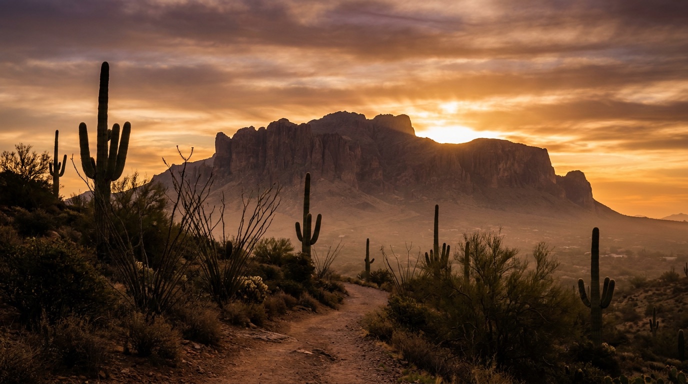
South Mountain Park is the biggest thing in Phoenix that most visitors never set foot in. It's the long dark ridge on the southern edge of the Valley — more than 16,000 acres of Sonoran desert, which makes it one of the largest municipal parks in the country — and it holds something no other Phoenix mountain does: a paved road to the top. If Camelback is the mountain you train for, South Mountain is the one you can bring your parents, your kids, or a first date to on a weeknight and still come away with the best skyline view in the city.
It's also genuinely big enough to get lost in, which is the part people underestimate. There are dozens of miles of trail across the range, several separate trailheads on different sides of the mountain, and almost no shade anywhere. Knowing which entrance you want before you leave the house is most of the battle.
Dobbins Lookout: the mountaintop view you can drive to
Summit Road runs from the main entrance at Central Avenue up to Dobbins Lookout, sitting at roughly 2,300 feet — the highest point in the park you can reach by car. At the top there's a stone shelter and wall built by the Civilian Conservation Corps in the 1930s, and a view that runs from downtown Phoenix straight out across the Valley. On a clear winter day you can pick out mountains an hour away.
This is the single best answer in Phoenix to "we want a view but nobody wants to hike." Drive up, walk fifty feet, sit on a wall built ninety years ago, and watch the city turn on. It's free, and it works just as well at sunrise as at sunset.
Two practical notes. The road and the park gates have set opening and closing hours, and the Summit Road gate typically closes before the park itself does — the City of Phoenix posts current hours, and they change, so check before you plan a sunset run up. And on holiday and weekend evenings the road gets busy; go on a weekday if you want the wall to yourself. If you're collecting options for the same hour, our guide to where to watch the sunset in Phoenix covers the rest of the Valley.
The trails, and who each one is for
Holbert Trail starts near the main Central Avenue entrance and climbs toward the Dobbins area. It's a real climb with real elevation — a solid workout without the crowds or the scramble of Camelback.
Mormon Trail, from the 24th Street trailhead, is the popular east-side climb and the usual way people reach the Hidden Valley area. Steep in stretches, moderate overall, and busy on cool mornings.
National Trail is the spine of the park — a long, rugged traverse that runs the length of the range. Most people do a section of it rather than the whole thing. This is not a casual first outing; treat it as a planned hike with a map, real water, and a turnaround time.
Pima Canyon and the Desert Classic Trail, on the east and south side, are the flat option. Desert Classic runs along the base of the mountain on gentle, well-graded ground and is a favorite of mountain bikers and trail runners. If you want desert scenery without elevation, this is the one.
Alta Trail, on the west end, is the exposed ridge walk with big open views and very little forgiveness in summer.
If your group wants something shorter and softer, we've collected the gentler Valley options in the best easy hikes in Phoenix — and if someone in the group wants the hard version instead, hiking Camelback Mountain is the other end of the spectrum.
Fat Man's Pass and the petroglyphs
The park's most-photographed oddity is Fat Man's Pass, a narrow slot where the trail squeezes between two boulders in the Hidden Valley area, usually reached from the Mormon Trail side. It's exactly what it sounds like, and it is the reason half the people on that trail are carrying a daypack they have to take off to get through.
The other thing worth slowing down for: petroglyphs. The Hohokam lived and farmed in this valley for centuries, and their rock art is scattered through the park's canyons — some panels sit close to popular trails. Look, photograph, and leave them alone. They're irreplaceable, and touching or chalking rock art destroys it.
You'll also notice the cluster of broadcast towers along the summit ridge. They're not scenic, but they're a useful landmark: if you can see them, you know roughly where you are.
When to go — the part that decides how the day goes

From roughly October through April, South Mountain is close to perfect all day. That's the season locals use it hard — bikes on Desert Classic, families at the picnic ramadas, the lookout packed at dusk.
From May through September, the mountain is only safe early or late. There is essentially no shade and no water on the trails, and the rock radiates heat long after the sun drops. Phoenix closes some of its most demanding trails during excessive heat warnings, so check the city's trail status before you drive out rather than after. If it's a summer visit, the honest advice is to skip the climb entirely and drive Summit Road at sunrise — you get the best part of the park with none of the risk.
Bring more water than you think you need, tell someone your route, and don't count on cell service in the canyons. If you're bringing a dog, know that Phoenix bars dogs from city trails once the temperature hits 100°F — and pavement and rock are far hotter than the air long before that.
How locals actually play it
The move is a cool-season Saturday: park at Pima Canyon, walk an easy hour of Desert Classic, then drive around to Central and take Summit Road up to Dobbins for the last of the light. Two very different halves of the same mountain, no permits, no fees, and about three hours door to door. For more outings that cost nothing, free things to do in Phoenix has the rest of the list.
Know a Phoenix-area business that makes mornings like this better — a bike shop, a trail-running store, a coffee spot in South Phoenix or Ahwatukee, a gear outfitter? Nominate them to be featured. We'd rather write about the places locals actually send their friends to.