
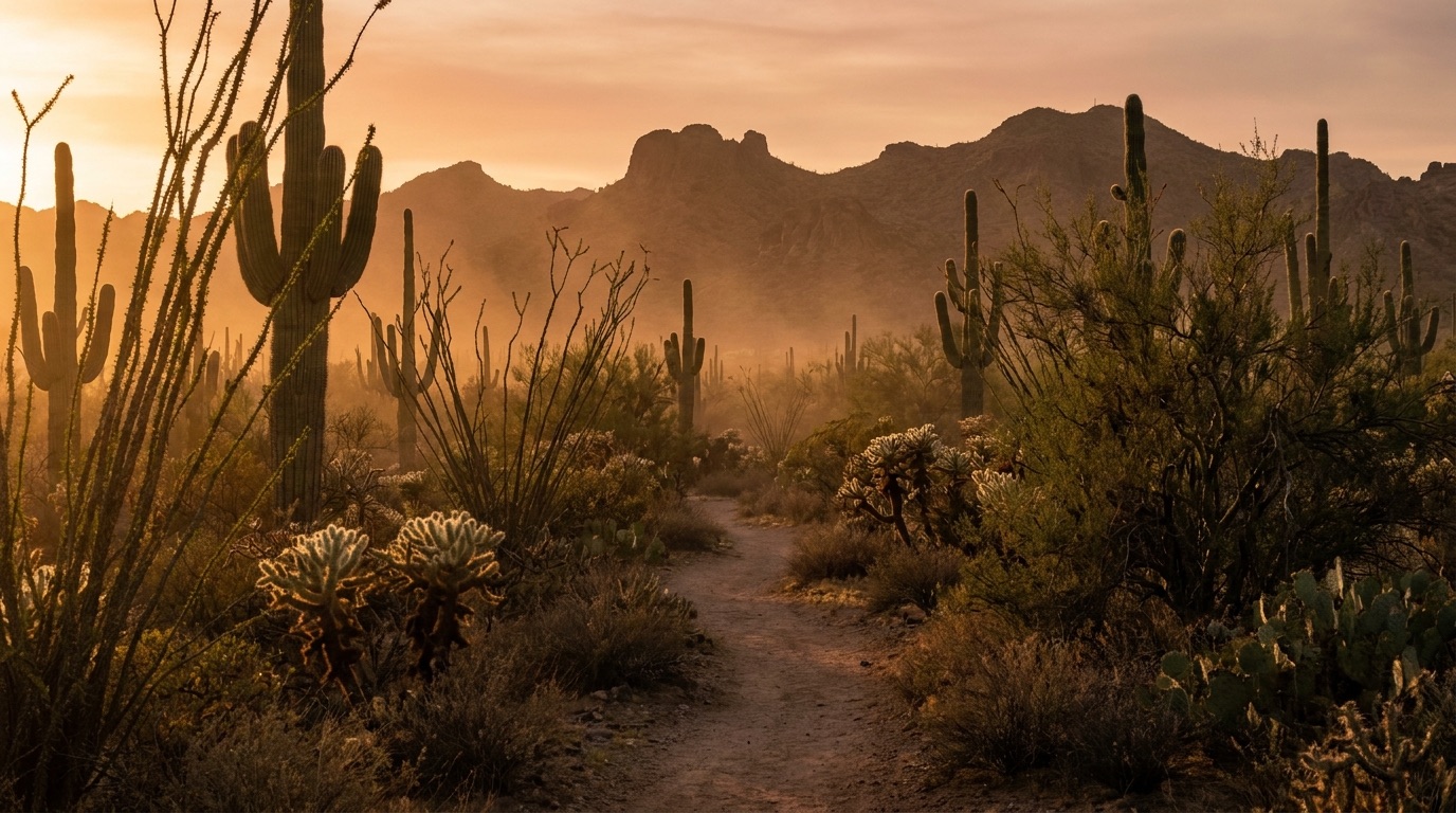
If Camelback is the mountain visitors fly in to climb, Piestewa Peak is the one Phoenix actually hikes. Hiking Piestewa Peak is a before-work ritual for a large number of people in this city — the lot starts filling in the dark, the trail is a slow-moving line of headlamps and gym shorts by 5:30 a.m., and most of those people will be at their desks by eight. It sits right in the middle of town off Lincoln Drive, inside the Phoenix Mountains Preserve, which is the whole reason it works as a habit instead of an expedition.
It is also, per step, harder than it looks from the parking lot. Here's the honest version.
The Summit Trail: 1.2 miles that don't let up
The Summit Trail (#300) runs about 1.2 miles to the top and climbs roughly 1,200 feet doing it. Read that ratio again, because it's the entire character of this hike: there is almost no flat ground on it. It's a staircase of uneven rock and railroad-tie steps that starts climbing about ninety seconds in and does not stop until you're standing on the summit at 2,610 feet — the second-highest point in the Phoenix Mountains and the third-highest in the city.
The city rates it extremely difficult, and it's a designated National Recreation Trail, which tells you something about both the quality and the seriousness of it. Fit people who run regularly still stop on it. Plan on 60 to 90 minutes round trip at a normal pace, and know that the descent is the part that gets people — loose gravel over polished rock, with tired legs. Trail shoes with real tread, not flat sneakers.
One rule that surprises visitors every week: no dogs on the Summit Trail, ever. Not a summer restriction — a year-round, foot-traffic-only rule, same as bikes and horses. People drive over with the dog in the back and get turned around at the sign.
The Freedom Trail is the better hike for most people
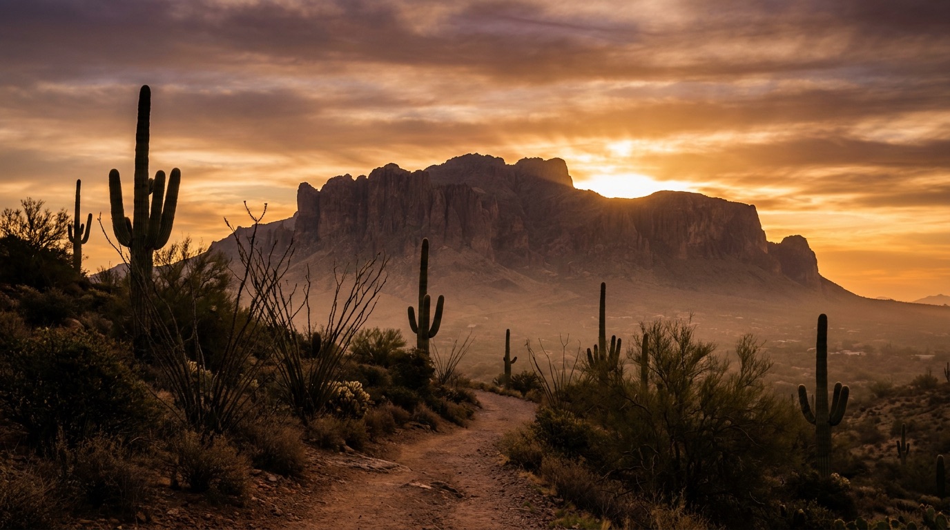
This is the local tip. Everyone points at the summit, but the Freedom Trail (#302) is arguably the nicer outing: roughly four miles looping around the base of the peak, rated moderate, with steep rolling sections, loose shale in places, and long stretches where you're looking out over the city instead of at the boots in front of you.
It's quieter, it's a genuinely good workout without the summit-line bottleneck, and it connects into a preserve network of about fifteen miles of trails, so you can build a longer morning out of it if you want one. If you're newer to desert hiking, do Freedom first and save the summit — or start with something gentler still from our best easy hikes in Phoenix guide.
The heat rules, and why they're not optional
This is the part that actually matters, and it's the same law that governs Camelback.
On any day the National Weather Service issues an Extreme Heat Warning, every trail at the Piestewa Peak Trailhead closes from 8 a.m. to 5 p.m. — along with Camelback's Echo and Cholla trails and the trails at South Mountain. It's a real closure, enforced, not a suggestion posted for liability. In 2024 the city closed trails on 45 days between May and October, which gives you a sense of how routine this is.
Separately and independently: dogs are barred from every City of Phoenix trail any time it's 100 degrees or hotter. Rock surfaces on these mountains can hit around 135 degrees. A dog died on this specific peak in the heat, which is why the rule exists in the form it does.
And the underlying reason for all of it: more than 200 hikers a year are rescued off Phoenix's desert and mountain parks. Overwhelmingly heat and dehydration, overwhelmingly people who thought a 1.2-mile trail didn't require planning. Bring at least a liter for the summit, more in warm weather. There is no water and effectively no shade once you start climbing.
Parking, hours, and the night-hike thing
The trailhead is at 2701 E. Piestewa Peak Drive, off Lincoln Drive, and this is where Piestewa quietly beats Camelback: there's a real parking area with restrooms and drinking water at the bottom, and the road has multiple lots along it. It still fills on cool-season weekend mornings — this is one of the most-used trailheads in Arizona — but you're far less likely to be flatly turned away than at Echo Canyon.
The other quirk worth knowing is that this preserve stays open well past dark, which is why Piestewa has a real night-hiking culture in summer. Headlamps going up at 9 p.m. in July is a normal sight. If that's your plan, check the posted hours at the gate, bring an actual headlamp rather than a phone light, and don't do it alone your first time — the footing is genuinely tricky in the dark.

A note on the name
It's worth knowing what you're climbing. The mountain was called Squaw Peak for most of the last century. In 2003 it was renamed for Army Specialist Lori Ann Piestewa, a Hopi soldier from Tuba City and the first known Native American woman to die in combat serving in the U.S. military. The state board approved the change that April; federal approval followed in 2008.
Locals still occasionally slip and say the old name, and the street signs on the approach carry echoes of it. But the peak has a name now, and it belongs to someone.
The short version
Go at sunrise from May through September, or any time you like from October through April — the cool half of the year here is absurdly good, as anyone moving to Phoenix figures out fast. Check for an Extreme Heat Warning the night before. Leave the dog at home. Bring more water than you think. Take the Freedom Trail if you want the better walk and the summit if you want the view — which is, for the record, one of the best in the Valley, and free every single morning. If you'd rather earn it with less climbing, where to watch the sunset in Phoenix has the low-effort options.
Know a Phoenix business that keeps this city outside — a running shop, a gear store, a guide, a trainer who does hill work on this mountain? Nominate them to be featured. The businesses locals actually recommend to friends are the only ones we write about.